
Why it matters when buying land
Land use codes are one of the most useful filters in land research. Searching for parcels coded “vacant residential” or “agricultural” is how buyers surface raw land at scale, and a parcel's code tells you at a glance what the county believes is happening on it.
The code also affects taxes. Many states tax agricultural or timber use at preferential rates, so a parcel's use classification can mean a dramatically lower tax bill — and changing the use can trigger reassessment or rollback taxes.
The danger is confusing use with permission. A parcel coded “vacant” is not necessarily buildable, and a parcel coded “agricultural” is not necessarily zoned to stay that way — the land use code reports the present, while zoning controls the future.
How to check it
Look up the parcel on the county assessor's site — the property record card lists the land use or property class code, usually with a short description. Code schemes are not standardized; each state or county maintains its own list, so check the local code table for exact meanings.
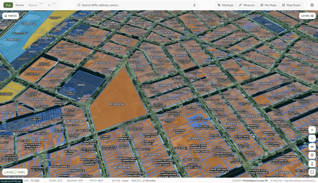
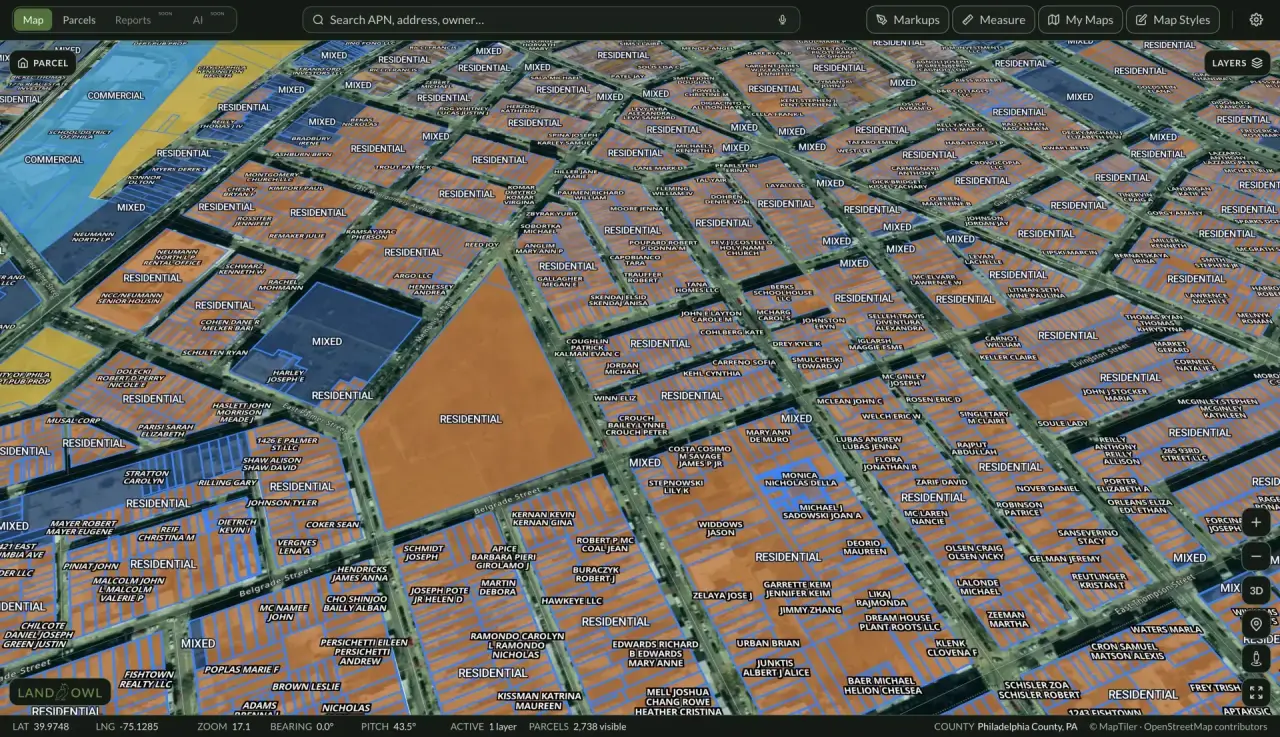
Then check what is actually allowed: in Land Owl, the zoning layer shows the parcel's zoning district on the map, so you can compare the current use against the permitted uses side by side.
If the parcel has a preferential tax classification (agricultural, timber, open space), ask the assessor what happens to that status — and whether rollback taxes apply — if you change the use. Rules vary significantly by state.
See it on a real parcel
Land Owl overlays zoning, ownership, flood risk, and more on every parcel — before you commit a dollar.
What is the difference between a land use code and zoning?
A land use code describes how the parcel is currently used and is assigned by the assessor for valuation; zoning is law, adopted by the local government, dictating what uses are permitted. A parcel can be coded agricultural while zoned for residential subdivision, or coded vacant while zoned industrial.
For a buyer, the use code answers “what is this land now?” and zoning answers “what can I do with it?” You need both, and they frequently disagree.
What are common land use code categories?
Most schemes group parcels into broad classes: residential (often split by single-family, multi-family, mobile home), agricultural, commercial, industrial, vacant, exempt (government, religious, schools), and special categories like timberland, mining, or utilities.
Within each class there are usually numeric subcodes — for example, separate codes for vacant residential land versus a residence on acreage. The exact code list varies by state and county, so always consult the local assessor's code table.
Can a land use code be wrong?
Yes, and it happens regularly. Codes are updated when assessors process permits, sales, and periodic reviews — so a parcel cleared years ago may still be coded timber, or a parcel with a new cabin may still show as vacant.
An incorrect code matters mostly for taxes and for search accuracy. If the classification is wrong, the assessor's office can correct it, though a correction that removes a preferential classification can raise the tax bill.
Do land use codes affect property taxes?
Often, substantially. Many states offer current-use or preferential assessment programs that value agricultural, timber, or open-space land at its use value rather than market value — frequently a fraction of the unrestricted tax bill.
These programs usually come with strings: enrollment requirements, minimum acreage, and rollback or penalty taxes if the land is converted to another use. Before buying enrolled land, confirm the program's obligations transfer to you and what exiting it would cost — specifics vary widely by state.