
Why it matters when buying land
Soil quietly determines what land is good for. It controls whether a septic drainfield will work, how expensive foundations will be, whether fields will drain or pond, and what crops or timber the ground can productively grow.
For a buyer, the soil survey is the cheapest due-diligence tool available — it can flag a parcel mapped with hydric (wetland-indicator) soils, shallow bedrock, or severe septic limitations before you spend anything on site testing.
It also feeds valuation: agricultural land is often priced and taxed by soil productivity class, and developers screen soils early because bad soils translate directly into engineering cost.
How to check it
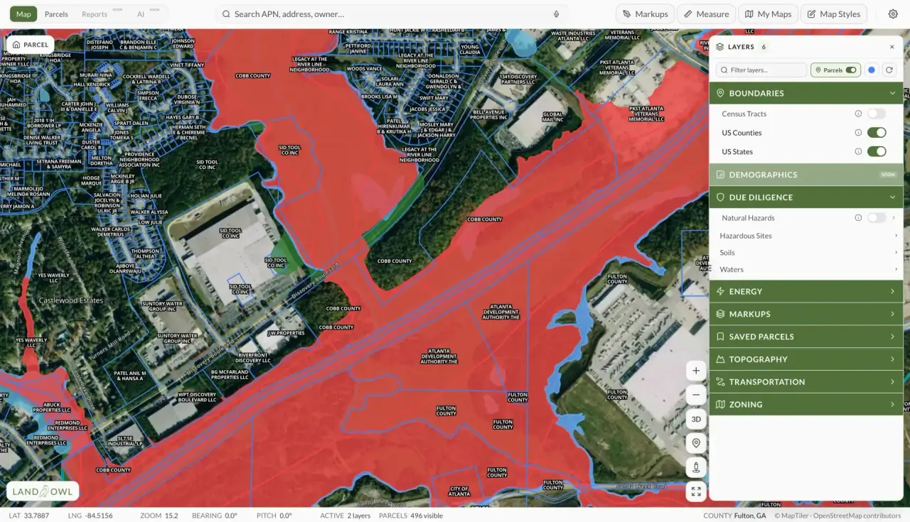
In Land Owl, the soil survey layer overlays NRCS soil map units directly on the parcel map, so you can see which soil types cover a parcel and where each one sits. The same data is available through the NRCS Web Soil Survey, where you can pull detailed reports on septic suitability, drainage class, and farmland classification for an area of interest.
Read the map units that cover the actual building or use area, not just the dominant soil on the parcel — a parcel can be mostly excellent soil with a wet or shallow pocket exactly where you wanted the house.
Treat survey data as screening, not proof. Soil map units are drawn at a scale that can miss small inclusions, so confirm critical questions with on-site work: a perc test for septic, a geotechnical investigation for foundations.
See it on a real parcel
Land Owl overlays zoning, ownership, flood risk, and more on every parcel — before you commit a dollar.
What does a soil survey tell you about land?
Each mapped soil unit comes with interpretations: drainage class, depth to bedrock and water table, flooding and ponding frequency, slope, and suitability ratings for septic absorption fields, dwellings, roads, and ponds. Agricultural ratings cover capability class, prime farmland status, and crop and timber productivity.
For land buyers, the headline items are usually septic suitability, hydric soil flags, and depth to bedrock or water — the three that most often make or break a building site.
Is a soil survey the same as a perc test?
No. The soil survey is a mapped, area-wide inventory built from sampling and landscape interpretation; a perc test is an on-site measurement of how fast water drains at a specific spot, performed to local health department standards.
The survey tells you whether a perc test is likely to pass; only the perc test itself gets you a septic permit. Use the survey to screen parcels cheaply, then test the one you intend to buy.
How accurate are NRCS soil surveys?
Good at the landscape scale, imperfect at the parcel scale. Soil map units are typically drawn from field sampling plus aerial interpretation at scales like 1:24,000, and each unit can legitimately contain small inclusions of different soils that were too small to map.
So a parcel mapped as one soil may contain pockets of another — better or worse. For decisions measured in tens of thousands of dollars, the survey is the start of the inquiry, and a soil scientist or perc test on the actual site is the finish.
What soil types are bad for building?
The classic problem soils are expansive clays that swell and shrink with moisture and crack foundations, hydric soils that indicate wetland conditions, organic soils like peat and muck that compress under load, and soils with shallow bedrock or high water tables that complicate basements and septic fields.
None of these automatically kill a project — engineering can solve most soil problems — but every one of them adds cost. The point of checking soils early is to find out whose budget that cost lands in: yours or the seller's.