
Why it matters when buying land
Land is priced, taxed, and marketed by the acre, so the stated acreage drives almost every number in a deal. A listing that overstates size by even half an acre on a small parcel can meaningfully change the price per acre you are actually paying.
Acreage figures from different sources rarely match exactly. The deed, the county assessor, the listing, and a fresh survey can each report a slightly different number, because they measure different things with different precision.
Gross acreage also is not the same as usable acreage. A 10-acre parcel where 6 acres sit in a floodplain or wetland may have less buildable ground than a dry 4-acre lot.
How to check it
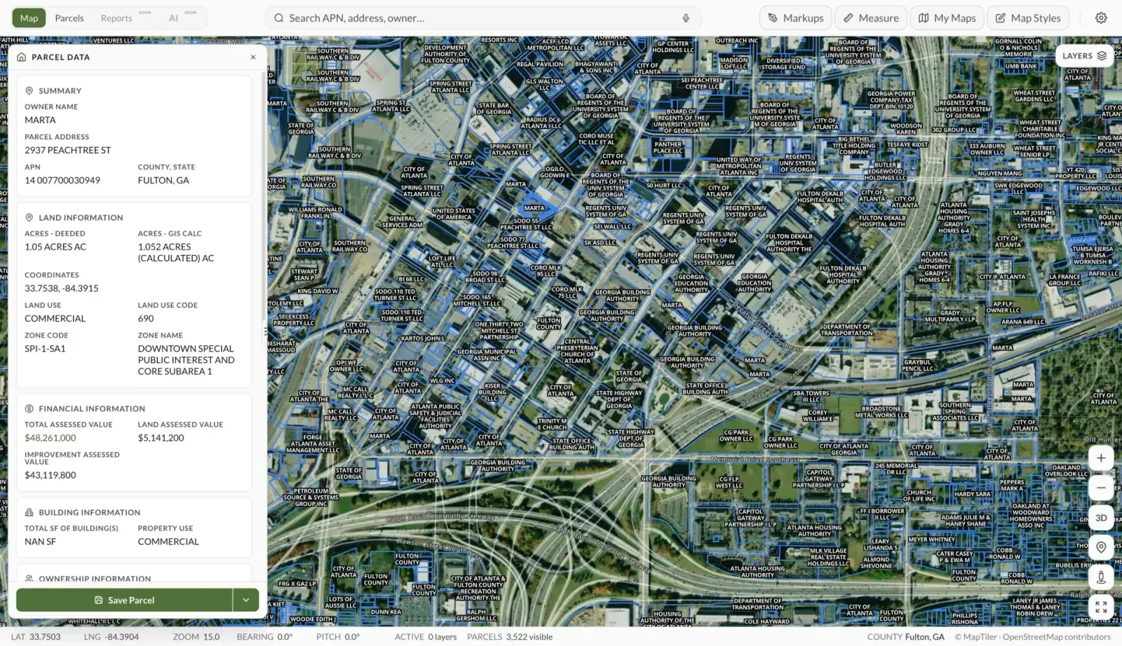
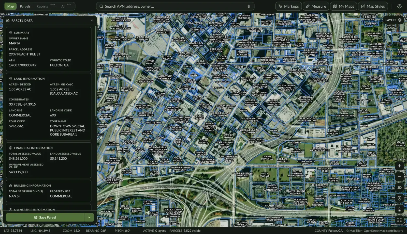
Start with the county assessor's recorded acreage, then compare it against the legal description in the deed. In Land Owl, the parcel boundaries on the map show each parcel's mapped shape and size, and parcel ownership data includes the assessor's reported acreage — a fast way to spot discrepancies before you spend money.
For anything where exact size matters — pricing per acre, a planned split, or a boundary dispute — order a licensed boundary survey. A survey is the only measurement that is legally defensible.
Finally, estimate usable acreage, not just total acreage: overlay floodplains, wetlands, steep slopes, and easements to see how much of the parcel you can actually use.
See it on a real parcel
Land Owl overlays zoning, ownership, flood risk, and more on every parcel — before you commit a dollar.
How big is an acre, exactly?
One acre is 43,560 square feet, or about 4,047 square meters. A perfectly square acre measures roughly 209 feet on each side, and there are 640 acres in a square mile (a “section” in the rectangular survey system).
For intuition: a football field including end zones is about 1.3 acres, and a typical suburban lot is a quarter acre or less.
How many acres do I need to build a house?
It depends on zoning and utilities, not just preference. Where municipal water and sewer are available, lots well under an acre are often buildable; on rural land with a well and septic system, many counties require 1 to 5 acres or more so the septic field and well can be safely separated.
Zoning districts also set minimum lot sizes directly — some agricultural zones require 10, 20, or 40 acres per dwelling. Always check the parcel's zoning before assuming a size is buildable.
Why does the listed acreage differ from the deed or the assessor?
Assessor acreage is often calculated from mapped parcel lines for tax purposes, while the deed reflects the legal description, which may date back decades. GIS parcel lines are approximations, so the mapped size can drift a few percent from the surveyed size.
When the numbers disagree, the recorded legal description controls legally — and a current survey resolves what is actually on the ground. Treat listing acreage as marketing until you have verified it.
What is the difference between gross and usable acreage?
Gross acreage is the total area inside the boundary lines. Usable (or net) acreage subtracts the parts you cannot practically build on or use: floodplains, wetlands, steep slopes, utility easements, and road rights-of-way.
Two parcels with identical gross acreage can have wildly different usable acreage, which is why per-acre price comparisons can mislead without a closer look at the land itself.