
Why it matters when buying land
A parcel's flood zone affects what you can build, what it costs to insure, and what the land is worth. If any part of the building site falls in a high-risk zone, lenders on federally backed mortgages are required to mandate flood insurance — a recurring cost that follows the property.
Construction in a high-risk zone is also regulated: local floodplain ordinances typically require elevated foundations, special permits, and sometimes engineering studies, all of which add cost and limit design options.
Flood maps change. A parcel mapped as low-risk today can be remapped into a high-risk zone after a FEMA map update, so understanding both the current zone and the local flooding history matters.
How to check it
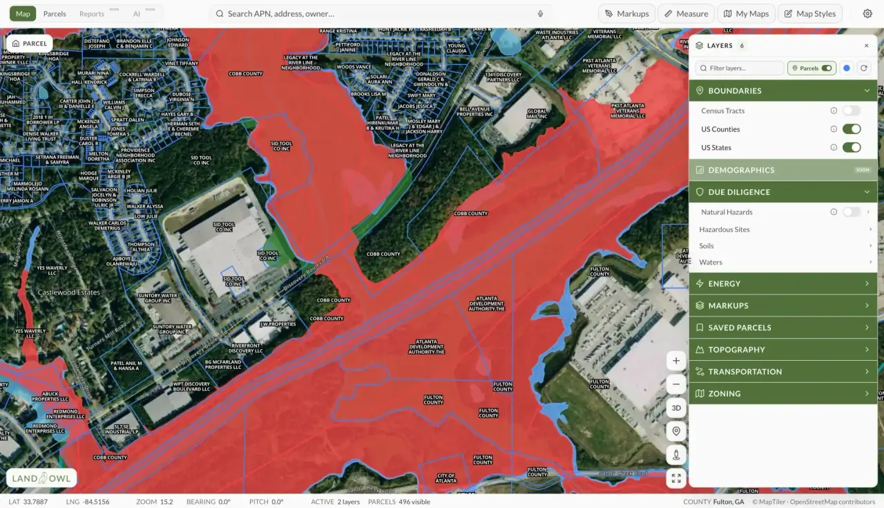
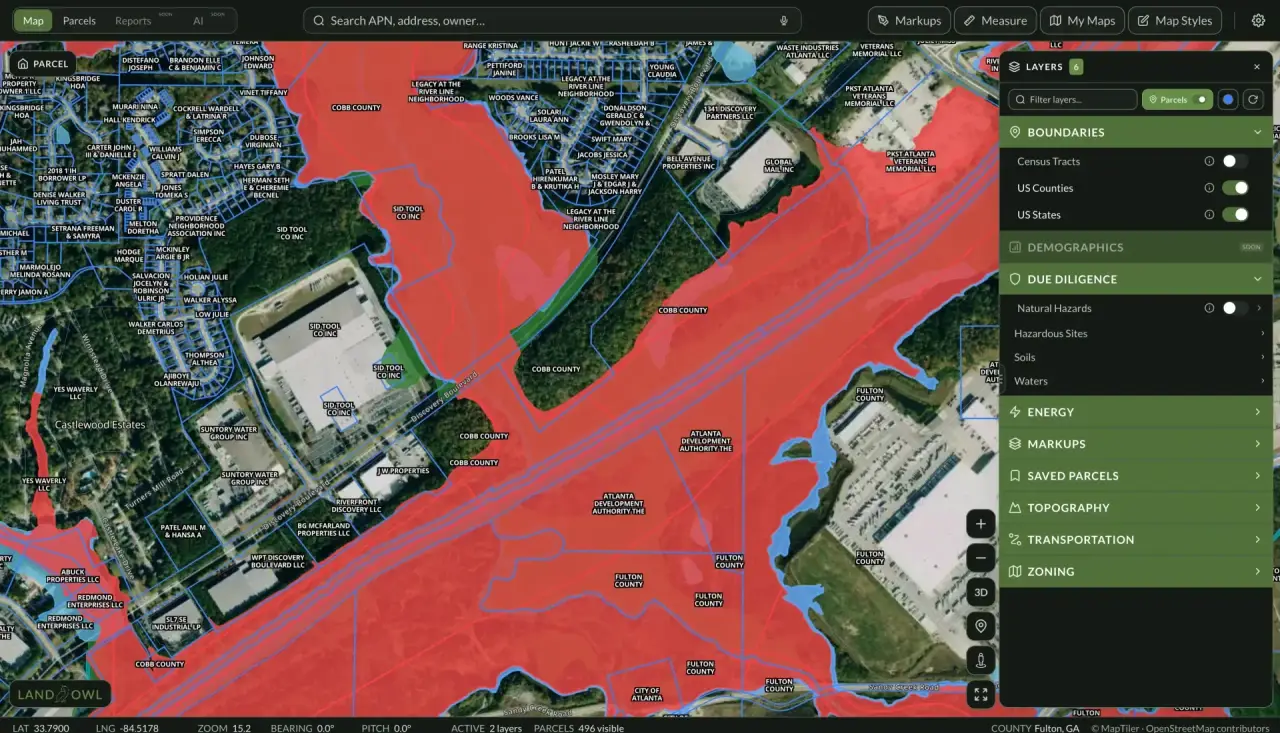
Look up the parcel on FEMA's Flood Map Service Center (msc.fema.gov) using the address or coordinates — the official FIRM panel shows the zone boundaries. In Land Owl, the FEMA flood zone layer overlays these zones directly on the parcel map, so you can see exactly which parts of a parcel fall in which zone.
Check where the zone line crosses the parcel, not just whether it touches it. A parcel can be mostly Zone X with a buildable upland area even though a creek corridor along one edge is Zone AE.
For a definitive answer on a specific building site, a surveyor can prepare an elevation certificate, and FEMA's Letter of Map Amendment (LOMA) process can formally remove a structure or lot from a high-risk zone if it sits above the base flood elevation.
See it on a real parcel
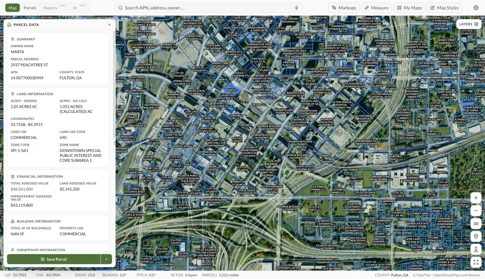
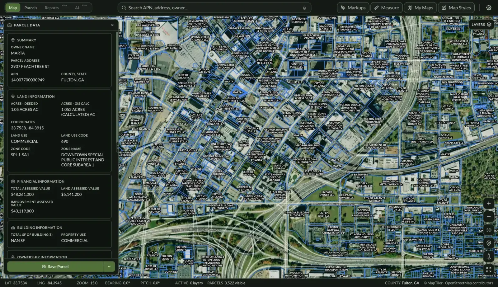
Land Owl overlays zoning, ownership, flood risk, and more on every parcel — before you commit a dollar.
What is the difference between Zone A and Zone AE?
Both are high-risk zones with at least a 1% annual chance of flooding (the “100-year flood”). The difference is data: Zone AE has a detailed study with published base flood elevations (BFEs), while Zone A was mapped by approximate methods and has no published BFE.
Zone A is in some ways harder to deal with — without a BFE, you may need to hire an engineer to establish the flood elevation before building. Related zones include AH and AO (shallow flooding) and AR (areas behind restored flood-control systems).
What are Zone V and Zone VE?
V zones are coastal high-hazard areas — the 1%-annual-chance floodplain along coastlines where storm waves add to the danger. VE zones have published base flood elevations; V zones do not.
Building standards in V zones are the strictest of any flood zone, typically requiring elevated structures on pilings, and flood insurance is the most expensive. Coastal land buyers should treat a V designation as a major cost factor.
Do I need flood insurance on a Zone X parcel?
It is not federally required. The mandatory purchase requirement for federally backed mortgages applies only to structures in high-risk zones (A and V), not Zone X.
That said, shaded Zone X areas still carry a 0.2%-annual-chance (“500-year”) flood risk, and roughly a quarter of flood insurance claims come from outside high-risk zones. Lenders can also require coverage even where federal law does not, and policies in Zone X are comparatively cheap.
Can a flood zone designation be changed?
Yes, through FEMA's map amendment processes. A Letter of Map Amendment (LOMA) can remove a lot or structure from a high-risk zone if a surveyed elevation certificate shows it sits at or above the base flood elevation — usually because the original mapping was imprecise.
A Letter of Map Revision (LOMR) reflects physical changes like fill or flood-control projects, though rules on using fill to escape a zone vary and some communities restrict it. FEMA also periodically remaps entire areas, which can move parcels into or out of high-risk zones without any change on the ground.