
Feature
Reports: the parcel, written up and ready to send
Clicking around a parcel is how you learn it. A report is how you hand it to someone else. Land Owl turns what it knows about a parcel into a formatted report you can download as a PDF or Word file, or share as a link that anyone can open.
Land Owl is a parcel intelligence platform for land investors, developers, and researchers — 160M+ U.S. parcels with county-verified ownership, zoning, and infrastructure data on one map.
What is a Land Owl parcel report?
It is a written summary of one parcel, generated from the same data you see on the map. The Standard report covers land and location, zoning and land use, financial and tax, the building record, ownership, and environment and hazards.
It shows its working. A Verify at the Source section links to the records behind the numbers, and a Data Sources and Disclaimer section says where the data came from, so whoever reads it can check it.
It is built once, when you generate it. Opening, downloading or sharing it later does not fetch the parcel again.
Who is it for?
Anyone who has to put what they found about a parcel in front of somebody else.
- Investors attaching a parcel write-up to an offer or an investment memo
- Brokers and agents giving a client the facts on a listing
- Developers and site selectors screening a site before paying for a survey
- Lenders, partners and consultants who need the same facts in a file
How do you make a parcel report?
Reports start from a parcel on the map.
Generate it from the parcel
Click a parcel, open its Actions menu and choose Generate report. Land Owl builds it in the background and tells you when it is ready.
Open it on the Reports page
Every report you have made is listed on the Reports page. Open one to read it in place or in a new tab.
Download or share
Download it as a PDF or a Word (DOCX) file, or press Share to get a link anyone can open, with an optional password.
Live example
Open a real shared report
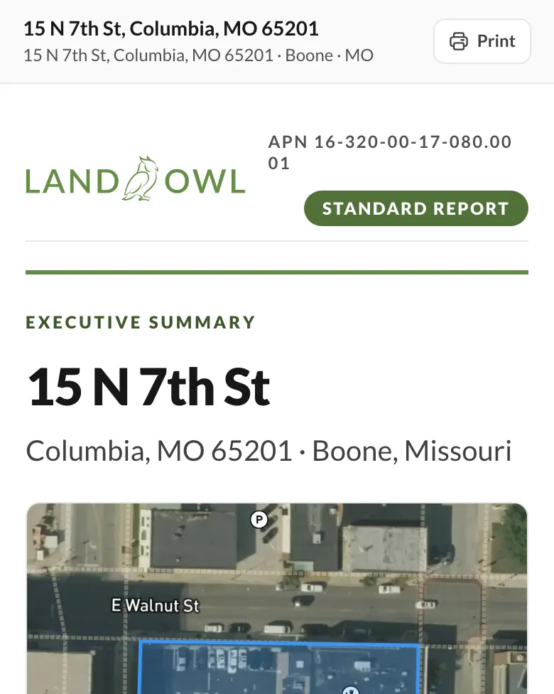
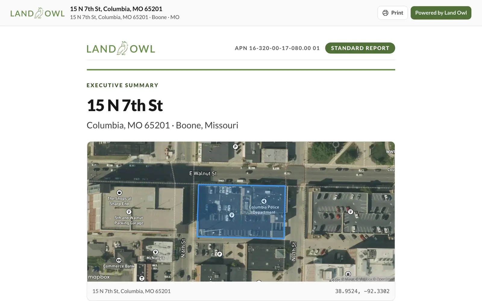
This is a live shared report on a City of Columbia–owned parcel at 15 N 7th St, Columbia, Missouri. Open it, or download the PDF straight away.
What you get with Reports
| Capability | What it actually does |
|---|---|
| What it covers | Land and location, zoning and land use, financial and tax, building record, ownership, environment and hazards |
| Sources | A Verify at the Source section with links to the underlying records, plus data sources and a disclaimer |
| Formats | PDF and Word (DOCX) downloads, or read it in the browser |
| Sharing | A public landowl.com/r/ link, with an optional password; revoke it any time |
| Opening a shared report | No account needed |
| Monthly reports | Free: 1. Basic: 10. Standard: 25. Premium: unlimited |
| Shared report links | Basic: 5. Standard: 100. Premium: unlimited. The free plan cannot share reports |
What a report does not do
It is a snapshot. A report records what Land Owl knew about the parcel when you generated it and does not update afterwards; generate a new one to get today's data.
It is only as complete as the county's records. Where a field is not available for a parcel, the report says so rather than filling it in, and it is not a survey, an appraisal or a title search. Use the Verify at the Source links before you rely on a number.
Deleting a report removes it and its files, but does not give back that month's report allowance.
Step-by-step guides
Related terms
Reports: FAQ
What formats can I download a report in?
PDF and Word (DOCX). You can also read it in the browser or open it in its own tab.
Can I share a report with someone who does not use Land Owl?
Yes. Press Share on the report to get a landowl.com/r/ link that anyone can open with no account. You can add a password and revoke the link at any time.
Can the person I share it with download it?
Yes. A shared report has a Download button that saves the same PDF you download yourself.
How many reports can I make?
The free plan includes 1 report a month, Basic 10, Standard 25, and Premium is unlimited.
Does a report update when the county data changes?
No. A report is a record of the parcel at the time you generated it. Generate a new report for current data.
Put the parcel in writing
Generate your first report on the free plan — no card.